
The most populous ZIP code in every state
ZIP 77494 in Texas and 08701 in New Jersey are effectively tied as the nation's most populous, each with about 140,000 residents. A typical ZIP code has about 2,600.
See more of our coverage in your search results.
Two ZIP codes, 77494 in Fort Bend County, Texas, and 08701 in Ocean County, New Jersey, are the most populous in the United States, according to 2020-2024 American Community Survey estimates from the U.S. Census Bureau. ZIP 77494 had 140,157 residents and 08701 had 139,149. The 1,008-person gap is smaller than the survey's margin of error, so neither is the clear leader.
Texas holds six of the 12 most populous ZIP codes. After 77494 come 77449 in Harris County (130,028), 78660 in Travis County (124,834), 77433 in Harris County (116,550), 77084 in Harris County (110,217), and 78130 in Guadalupe County (104,009). In all, 18 ZIP codes have at least 100,000 residents.
The typical ZIP code is far smaller. The median ZIP code area in the 50 states and the District of Columbia had about 2,600 residents, and roughly one in three had fewer than 1,000.
The largest ZIP code in each state ranges from 140,157 residents in Texas to 31,662 in 05401, which covers Burlington, Vermont. In California, the most populous state, the largest is 92336 in Fontana, with 105,517 residents. New York's is 11368 in Queens (105,716), and Illinois's is 60629 in Chicago (108,324).
In some states, the largest ZIP code is outside the county that holds the biggest city. Washington's is 99301 in Franklin County, in the southeast of the state, with 87,044 residents, ahead of 98052 in King County, home to Seattle (80,717). Arizona's, 85142 in Pinal County (93,700), is larger than any ZIP code in Maricopa County, home to Phoenix. Indiana's two largest, 47906 in Tippecanoe County and 46307 in Lake County, are both outside Marion County, which contains Indianapolis.
Eight states have a statistical tie for first place. Every American Community Survey figure is an estimate with a margin of error, and in these states the gap between the top two ZIP codes is smaller than the margin of error for that difference. New York's two largest, 11368 in Queens and 11208 in Brooklyn, differ by 288 people. Rhode Island's, 02860 in Pawtucket (47,818) and 02909 in Providence (46,014), are 1,804 apart. Alaska, Kentucky, North Carolina, North Dakota, Pennsylvania, and South Carolina are the others.
The largest ZIP code in every state
States are ranked by the population of their largest ZIP code. An asterisk marks a ZIP code whose lead over the runner-up is within the survey's margin of error.
In the District of Columbia, ZIP 20002 holds 72,397 people, about one in nine residents.
Add CensusEasy as a preferred source on Google to see our work first.
What is the most populated ZIP code in the U.S.?
ZIP 77494 in Fort Bend County, Texas, had the largest estimate, 140,157 residents, in the 2020-2024 American Community Survey. ZIP 08701 in Ocean County, New Jersey, had 139,149, a gap within the margin of error, so the two are effectively tied.
What is the most populated ZIP code in Rhode Island?
ZIP 02860 in Pawtucket had 47,818 residents in the 2020-2024 American Community Survey, and 02909 in Providence had 46,014. The 1,804-person gap is within the survey's margin of error, so the two are statistically tied.
How many people live in a typical ZIP code?
About 2,600. The median ZIP code area in the 50 states and the District of Columbia had roughly 2,600 residents in the 2020-2024 American Community Survey, and about one in three had fewer than 1,000.
Population figures are total population (table B01003) for ZIP Code Tabulation Areas (ZCTAs) in the American Community Survey 2020-2024 5-year estimates. ZCTAs are the Census Bureau's area versions of U.S. Postal Service ZIP codes, built from census blocks. Most closely match a residential ZIP code, but ZIP codes used only for post office boxes or a single large organization have no ZCTA, and ZCTA boundaries can differ from current postal delivery routes.
Each ZCTA is listed under the state and primary county assigned to it in CensusEasy's ZIP data. Connecticut's ZCTAs, which that data does not yet include, were identified by their 06 ZIP prefix, excluding 06390 on Fishers Island, New York, and labeled with their 2020 county from the Census Bureau's ZCTA-to-county relationship file. City names in the text are used only where one city covers nearly all of a ZIP code's land area, according to the Census Bureau's 2020 ZCTA-to-place relationship file.
A lead is marked as a statistical tie when the difference between the two largest estimates is smaller than the margin of error of that difference, calculated as the square root of the sum of the two squared margins of error, at the Census Bureau's 90 percent confidence level. The median and the count of large ZIP code areas cover the 50 states and the District of Columbia and exclude Puerto Rico.
You may cite or republish these findings, and the downloadable dataset is licensed under CC BY 4.0. Reuse requires that you credit CensusEasy and link back to this page so readers can verify the underlying data.
CensusEasy Data Team (2026). "The most populous ZIP code in every state." CensusEasy. Retrieved from https://censuseasy.com/studies/most-populous-zip-code-by-state
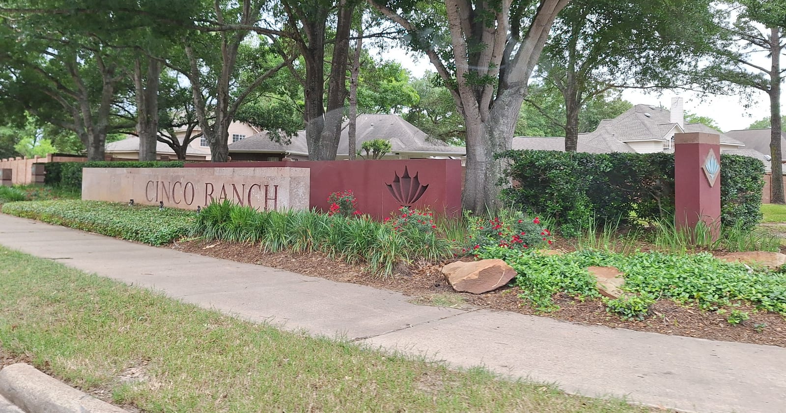
U.S. Census Bureau, American Community Survey 2020-2024 5-year estimates, table B01003 (total population) for ZIP Code Tabulation Areas, including margins of error. U.S. Census Bureau, 2020 ZCTA-to-county and ZCTA-to-place relationship files. Every state's full ZIP ranking is on the largest ZIP codes by population page. Photo: Cinco Ranch entrance sign in Fort Bend County, Texas, a community that lies partly in ZIP 77494, by WhisperToMe, via Wikimedia Commons, released into the public domain under CC0, cropped to fit.

CensusEasy publishes original research grounded in US Census Bureau data. Every study includes the underlying numbers, methodology, and sources so readers can verify or extend the analysis.
Data note. Figures in this report are derived from US Census Bureau and Bureau of Labor Statistics data, including American Community Survey estimates that carry sampling margins of error. This information is provided as is, for general informational purposes, without warranty of accuracy or completeness. CensusEasy is not affiliated with or endorsed by the US Census Bureau or any government agency. See our Terms of Use for details.