What is a census tract?
See more of our coverage in your search results.
A census tract is a small piece of a county, drawn by the Census Bureau to hold roughly 4,000 people, that serves as the building block for neighborhood-level statistics. There are 84,401 of them covering the United States. When you see a map of income or race that changes block by block instead of city by city, you're almost always looking at census tracts.
The Bureau aims for each tract to fall between 1,200 and 8,000 residents, with about 4,000 as the target. That's small enough to describe a neighborhood but large enough that the numbers stay reliable and no single household stands out. A dense city packs many tracts into a few square miles; a rural county might cover hundreds of square miles in one tract.
Why they exist
Counties and cities are too big to show how a place actually varies. A single county can hold a wealthy suburb and a struggling downtown, and its countywide median income averages the two into a number that describes neither. Tracts were created to fix that. They let the Bureau publish income, age, race, housing, and dozens of other measures at a scale close to how people experience where they live.
Tracts are designed to be stable, so you can compare the same small area across decades. They get redrawn every ten years to keep pace with population, since a fast-growing tract eventually splits in two and a shrinking pair may merge. That decennial redraw is why comparing tract data across a census boundary takes care: the lines you're looking at in 2020 aren't always the lines from 2010.
Each tract carries an 11-digit code that stacks its geography together: two digits for the state, three for the county, and six for the tract itself. That code is permanent enough to link a tract to its county and state, which is how our tract pages roll up into the national map.
What a tract is not
A tract is not a ZIP code and not a neighborhood. ZIP codes are mail-delivery routes, they cross tract and city lines, and the Census Bureau only approximates them. Neighborhoods are how residents describe where they live, and their boundaries are informal and contested. A tract sits between the two: a formal, consistent statistical unit that often lines up with a neighborhood but was drawn for counting, not for identity.
Below the tract are block groups and census blocks, which are smaller still. Blocks are the finest geography the Bureau uses, and in a city a block really is a city block. Tracts are the level most data actually gets published at, because blocks are so small that detailed statistics about them would risk identifying individual households, a privacy limit we covered in our look at what the census does with your answers.
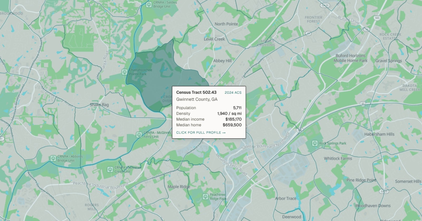
If you want to see tracts in action, the CensusEasy map switches between county and tract views, and every tract has its own page with income, age, and race for that specific patch of ground.
Sources
Tract definitions and the population thresholds are from the U.S. Census Bureau's geography program. The count of 84,401 tracts reflects the 2020 census tract boundaries as carried in the CensusEasy database. Neighborhood-level statistics on this site are published for ZIP Code Tabulation Areas and tracts using the American Community Survey.
Add CensusEasy as a preferred source on Google to see our stories first.

Trump's plan to exclude some immigrants from the census could cost Texas and Florida House seats
A New York Times analysis finds removing noncitizens without green cards would shift seats from Texas and Florida to Minnesota and Oregon. Our own projection shows why: those states sit right at the cutoff.

The census has counted noncitizens since 1790, and the Trump administration wants to stop
Every census since the first one has included noncitizens in the count that divides up House seats. The 2030 proposal would break that rule, after a century of attempts that never changed the count.

What is a metropolitan area? How the Census draws the lines around 95% of Americans
A metro area is a group of whole counties tied together by commuting. There are 387 of them plus 538 micropolitan areas, covering 1,844 counties and 323.8 million people.
How many people live in a census tract?
The Census Bureau aims for each tract to hold between 1,200 and 8,000 people, with about 4,000 as the target. Dense cities pack many small tracts into a few square miles, while a rural tract can cover hundreds of square miles to reach the same population.
What is the difference between a census tract and a ZIP code?
A ZIP code is a mail-delivery route created by the Postal Service, and it crosses tract, neighborhood, and city lines. A census tract is a formal statistical area drawn by the Census Bureau to stay consistent over time. The Bureau only approximates ZIP codes, using ZIP Code Tabulation Areas, but it defines tracts directly.
Do census tracts change?
Yes. Tracts are redrawn every ten years to keep each one near its target population. A fast-growing tract eventually splits into two, and shrinking tracts can merge. That is why comparing tract data across a decennial boundary requires care, since the 2020 lines are not always the same as the 2010 lines.